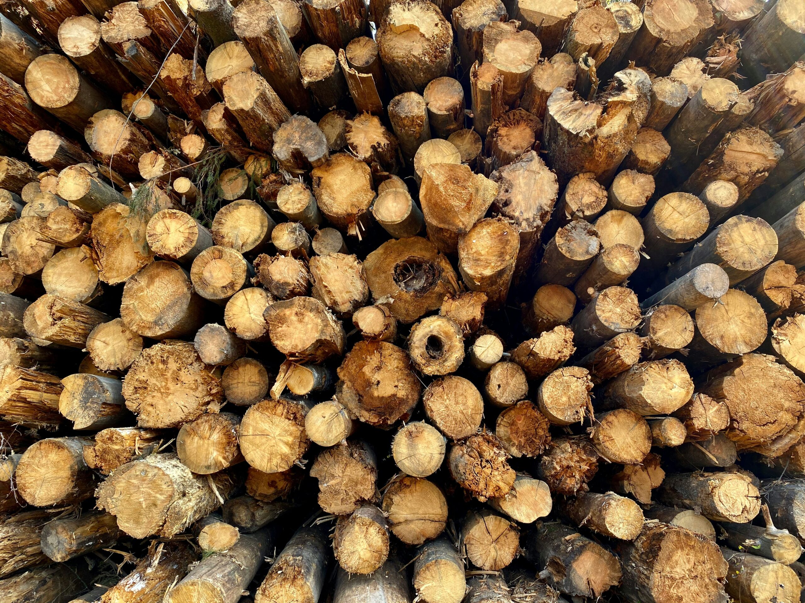
Monitoring deforestation isn’t just about meeting EUDR requirements. It’s become a core responsibility for companies, governments, and NGOs working to manage land use, reduce environmental risk, and protect ecosystems. Whether you’re building a compliance framework, running conservation programs, or mapping long-term land cover change, visibility on forest loss is no longer optional.
Satellite-powered software platforms now offer a wide range of capabilities – plot-level geolocation, historical land-use detection, alert systems, and end-to-end traceability. These tools are being used in everything from supply chain auditing to policy enforcement and corporate ESG reporting. Some are built around EUDR’s requirements. Others go broader. In the sections below, we look at platforms actively used for deforestation monitoring in different regulatory, environmental, and operational contexts.
1. EUDR
EUDR is not a software platform in the traditional sense, but we work directly with companies that need to stay aligned with the EU Deforestation Regulation. Our focus is on helping businesses understand what the law requires, what’s at stake, and how to build a due diligence system that meets the legal threshold. While we don’t offer satellite imagery or alert systems ourselves, we make sure teams know what kind of data needs to be collected and documented.
Where we come in is the compliance layer. We help companies connect their monitoring tools with legal requirements – especially around supply chain traceability, geolocation data, and risk classification. The reversed burden of proof makes this unavoidable. We don’t just explain the regulation – we help translate it into actual steps, documentation formats, and sourcing protocols companies can apply to avoid fines or rejected shipments.
Key Highlights:
- Practical compliance support for EUDR
- Clear explanation of legal requirements
- Guidance on using third-party monitoring tools correctly
- Helps connect supply chain data with regulatory reporting
- No unnecessary tech – just focused strategy and documentation
Who it’s best for:
- Importers of high-risk commodities
- Legal and compliance teams
- Supply chain managers preparing for audits
- Companies unsure how to align satellite or GIS data with EUDR obligations
Contact Information:
- Website: eudr.co
- E-mail: info@eudr.com
- Address: Robert-Bosch-Str. 7, 64293 Darmstadt,Germany
- Phone: +49 6151 2776497
2. Farmforce
Farmforce provides supply chain traceability tools with a focus on first-mile data, which is often the hardest part to capture. Their deforestation monitoring features are embedded into broader farm management workflows, making it possible to map fields, validate land-use history, and link harvests back to specific plots. The platform combines satellite-based checks with ground verification through mobile apps, helping companies generate evidence that can be used during EUDR due diligence.
What sets Farmforce apart in deforestation workflows is its focus on data quality and record retention. They don’t just map fields once – they help businesses maintain, update, and verify sourcing areas over time, with documentation that can hold up during an audit. By bridging the gap between field-level operations and compliance frameworks, they allow agribusinesses to build traceable, verifiable supply chains that meet EUDR standards without relying entirely on third-party satellite tools.
Key Highlights:
- Combines satellite imagery with on-ground field verification
- Helps map, update, and validate field data for EUDR compliance
- Links harvest batches to specific deforestation-free plots
- Includes tools for data quality assurance and audit readiness
- Focuses on first-mile traceability, not just remote sensing
Who it’s best for:
- Cocoa, palm, rubber, or soy supply chains
- Sustainability teams managing farm-level data
- Agribusinesses preparing for EUDR compliance
- Importers needing proof of non-deforested sourcing areas
Contact Information:
- Website: farmforce.com
- E-mail: info@farmforce.com
- LinkedIn: www.linkedin.com/company/farmforce
- Address: Tordenskiolds gate 2, 0160 Oslo, Norway
3. EOSDA LandViewer
EOSDA LandViewer is a satellite-based monitoring tool used to detect and track deforestation across large regions. It provides high-resolution imagery, vegetation indices, and analytical tools that allow users to identify land cover change, monitor degradation, and detect illegal or unauthorized clearing. LandViewer supports time series analysis, change detection, and index-based alerts to flag potential non-compliant areas.
For companies preparing for EUDR, the platform offers a practical way to monitor sourcing zones and document that no deforestation has occurred since the legal cut-off date. By selecting a specific area of interest, users can continuously track forest cover changes and validate whether operations remain within permitted boundaries.
Key Highlights:
- High-resolution satellite monitoring for forest loss
- Tracks both illegal and authorized clearing
- Supports NDVI, NBR, NDWI, and other vegetation indices
- Useful for ongoing oversight of sourcing zones
- Integrates with supply chain traceability efforts
Who it’s best for:
- Importers of high-risk commodities
- ESG or compliance teams verifying land-use status
- Forest-focused NGOs or data analysts
- Companies needing remote sensing tools for EUDR proof
Contact Information:
- Website: eos.com
- E-mail: sales@eosda.com
- Facebook: www.facebook.com/EOSDA
- Twitter: x.com/eos_da
- LinkedIn: www.linkedin.com/company/eos-data-analytics
- Instagram: www.instagram.com/eosdataanalytics
- Address: 800 W. El Camino Real, Suite 180, Mountain View, CA 94040 USA
4. Global Forest Watch
Global Forest Watch is a public platform offering open access to forest monitoring data. It’s not a commercial tool, but many organizations use it as a foundational layer to understand deforestation risks or validate land-use claims. The system pulls in satellite data from multiple sources, offering insights into tree cover loss, alerts for potential illegal activity, and historical land-use data that align with regulatory needs.
For EUDR-related monitoring, GFW can help companies pre-screen sourcing areas or identify regions where additional due diligence is needed. While it doesn’t integrate directly into supply chain platforms or offer audit-specific documentation, it serves as a trusted baseline for landscape-level monitoring. Many use it to cross-check supplier claims or to build early-warning systems before committing to procurement.
Key Highlights:
- Public satellite-based forest monitoring platform
- Offers alerts and historical land-use data
- Helps identify deforestation risks before sourcing
- Used widely in NGO and compliance sectors
- Supports pre-screening for EUDR-relevant regions
Who it’s best for:
- Teams assessing new sourcing regions
- NGOs monitoring land use at scale
- Companies building risk maps for EUDR
- Procurement teams needing an open-source view of forest status
Contact Information:
- Website: www.globalforestwatch.org
- E-mail: Kaitlyn.Thayer@wri.org
- Facebook: www.facebook.com/globalforests
- Twitter: x.com/globalforests
- LinkedIn: www.linkedin.com/showcase/globalforestwatch
- Instagram: www.instagram.com/globalforests
5. Swift Geospatial
Swift Geospatial provides deforestation monitoring through a mix of satellite imagery and GIS-based analysis. Their service is designed to identify land-use changes, track illegal logging activity, and map out plantation areas in near real time. By combining high-resolution visuals with on-ground geospatial tools, they support continuous observation of regions at risk and help users flag unsanctioned activity early.
They don’t offer supply chain systems directly, but their platform fits into deforestation monitoring workflows by delivering location-specific alerts and visual updates that can be fed into due diligence documentation. For companies preparing for EUDR, Swift Geospatial’s outputs help close the monitoring gap and provide a layer of evidence on forest conditions that can support risk classification, land traceability, and sourcing decisions.
Key Highlights:
- Real-time satellite monitoring of deforestation hotspots
- GIS mapping for field boundaries and forest status
- Visual evidence to support intervention and planning
- Detects illegal logging and encroachment risks
- Provides historical land-use comparisons for validation
Who it’s best for:
- Cocoa, palm oil, or timber importers seeking EUDR support
- Local authorities monitoring high-risk regions
- NGOs involved in land protection and forest tracking
- Buyers needing third-party validation of sourcing zones
Contact Information:
- Website: swiftgeospatial.solutions
- E-mail: info@swiftgeospatial.solutions
- Facebook: www.facebook.com/swiftgeospatial
- LinkedIn: www.linkedin.com/company/swift-geospatial
- Instagram: www.instagram.com/swiftgeospatial
- Address: CSIR, Building 4, 1st Floor, Meiring Naudé Rd, Brummeria, Pretoria, 0184
- Phone: +27 12 756 4950
6. Open Foris
Open Foris is a free, open-source platform developed to support forest and land monitoring across different use cases. It’s designed to help with field data collection, satellite interpretation, and geospatial analysis, all while keeping transparency and usability at the center. Tools like SEPAL, Earth Map, and Whisp allow users to process satellite data, conduct ground assessments, and support compliance reporting without requiring advanced technical skills.
In the context of EUDR, Open Foris acts as a foundational monitoring resource. It doesn’t provide automated alerts or commercial APIs, but it helps users compile visual evidence, analyze forest cover changes, and prepare land-use reports. The platform is especially useful for public institutions, cooperatives, and technical consultants supporting smallholder-inclusive supply chains or preparing for regulatory alignment under open data principles.
Key Highlights:
- Open-source tools for satellite and field data integration
- Flexible mapping and reporting across regions and timeframes
- Supports EUDR-aligned monitoring and restoration tracking
- Includes tools like Whisp and Collect Earth for compliance support
- No licensing fees or locked features
Who it’s best for:
- Governments or cooperatives preparing for EUDR
- Technical partners supporting smallholder inclusion
- NGOs working on deforestation-free supply chains
- Researchers handling restoration or MRV processes
Contact Information:
- Website: openforis.org
- Facebook: www.facebook.com/OpenForis
- Twitter: x.com/OpenForis
- LinkedIn: www.linkedin.com/company/open-foris

7. Starling (Airbus & Earthworm)
Starling is a satellite-driven monitoring platform developed by Airbus in partnership with the Earthworm Foundation. It focuses on mapping deforestation risks across commodity supply chains, tracking forest cover changes, and verifying no-deforestation commitments. The system links sourcing areas to field-level change detection and allows users to generate compliance and diagnostic reports in line with EUDR requirements.
The platform offers basemap updates, traceability mapping, and structured insights on land conversion. What makes Starling applicable to regulatory needs is its structured dashboard and audit-ready reporting options. While it’s a commercial tool, it’s already in use by buyers of cocoa, palm oil, rubber, and timber commodities to validate supply chain transparency and respond proactively to forest impact risks.
Key Highlights:
- Satellite-driven supply chain monitoring platform
- Traceability-to-plantation features for EUDR mapping
- Structured diagnostics for forest change and compliance
- Custom dashboards for audit and risk teams
- Supported by Airbus satellite imagery and analytics
Who it’s best for:
- Commodity buyers under EUDR jurisdiction
- Multinational companies tracking Scope 3 forest impact
- ESG teams needing automated deforestation alerts
- Businesses mapping supplier risk across multiple countries
Contact Information:
- Website: space-solutions.airbus.com
- LinkedIn: www.linkedin.com/company/airbus-geospatial-and-secure-connectivity-solutions
8. Nadar
Nadar provides an end-to-end platform focused specifically on EUDR compliance. Their system handles multiple parts of the due diligence chain – from geolocation data collection and quality verification to deforestation checks and submission of official due diligence statements. What stands out is their ability to cross-check open-source maps with their own satellite-enhanced models to reduce false positives, which are common with some datasets.
They don’t stop at deforestation detection. Nadar also offers legality risk assessments that factor in human rights indicators and region-specific risks. For companies that don’t have internal resources to manage data submission or verification, Nadar acts as an authorized representative, handling the TRACES submission process on their behalf.
Key Highlights:
- Satellite monitoring adapted to EUDR forest definitions
- Tools for collecting, verifying, and correcting geolocation data
- Legality risk assessments including social and rights-based indicators
- Low false-positive rate through proprietary detection models
- Includes final due diligence statement submission to TRACES
Who it’s best for:
- Importers managing multiple smallholder or high-risk sourcing zones
- Companies without in-house GIS or legal teams
- Compliance departments looking for full coverage, not just alerts
- Firms needing authorized representation for EUDR submission
Contact Information:
- Website: www.nadar.earth
- E-mail: info@nadar.earth
- LinkedIn: www.linkedin.com/company/nadar-earth
9. SuperVision Earth
SuperVision Earth focuses on monitoring deforestation risks through AI-enhanced satellite imagery. Their EUDR-focused platform traces commodities to their precise sourcing location, analyzes supplier risks, and delivers structured reports for compliance documentation. The user interface is designed for non-technical users, while the backend runs detailed monitoring, combining geolocation, deforestation status, and compliance flagging in one workflow.
The system generates reports linked to supplier-specific land plots and updates clients on any land-use changes that could affect EUDR status. It’s not just about flagging deforestation – it’s about delivering a clear compliance picture with supporting documentation. For companies that want a ready-to-use tool without building internal GIS pipelines, this platform provides a way to quickly operationalize deforestation monitoring with traceability to individual suppliers.
Key Highlights:
- Supplier-linked deforestation risk reports
- AI-based detection and satellite change tracking
- Generates EUDR-aligned compliance documents
- User-friendly dashboard for reviewing flagged areas
- Includes regular monitoring updates for ongoing risks
Who it’s best for:
- Firms that need ready-to-go monitoring with minimal setup
- Commodity buyers working with multiple suppliers
- Businesses needing per-supplier EUDR documentation
- Teams without in-house GIS or satellite analysis expertise
Contact Information:
- Website: www.supervision.earth
- E-mail: business@supervision.earth
- Facebook: www.facebook.com/SuperVisionEarth
- Twitter: x.com/SuperVisionLive
- LinkedIn: www.linkedin.com/company/supervisionearth
- Address: Otto-Hesse-Straße 19/T2, 64293 Darmstadt
- Phone: +49 6151 6678892
10. Forest Alert Service (APP & MDA)
The Forest Alert Service (FAS), developed by APP in partnership with MDA, supports deforestation monitoring across large, remote conservation areas in Indonesia. It uses RADARSAT-2 satellite imagery to detect changes in forest cover, even under cloud cover or in isolated zones that are hard to access by ground. APP integrates these alerts into a broader response system that includes ground verification, land dispute overlays, and links to local community patrol efforts.
While not designed as a public platform, the system contributes to internal transparency by feeding verified alert data into APP’s forest monitoring dashboard. It’s a practical example of how remote sensing and on-ground response can work together to reduce forest loss across concession zones and support conservation goals that align with broader due diligence principles like those in the EUDR.
Key Highlights:
- Radar-based satellite imagery unaffected by cloud or weather
- Detects subtle forest disturbances across remote areas
- Automated alerts verified by field teams within concession zones
- Supports community-led forest management through CCM
- Data integrated into internal dashboard for traceability and planning
Who it’s best for:
- Concession owners managing large or fragmented forest zones
- Organizations needing to monitor hard-to-access conservation areas
- Forest operations combining satellite alerts with ground verification
- Stakeholders seeking to reduce illegal activity and encroachment risks
Contact Information:
- Website: sustainability-dashboard.com
- LinkedIn: www.linkedin.com/company/appgroupid
- Instagram: www.instagram.com/asiapulppaper
Conclusion
Choosing the right deforestation monitoring tool isn’t just a technical decision anymore. For companies working under the scope of the EU Deforestation Regulation, it’s become part of everyday compliance. Whether you’re using satellite imagery to verify forest cover, mapping plot-level geodata, or assembling due diligence statements, the tools covered here all contribute to closing real gaps in traceability and oversight.
There’s no single system that solves everything. Some tools help you monitor from a distance, others dig into supplier-level risk, and a few take care of the paperwork side. The important part is figuring out which one fits your operational needs and actually connects back to what the EUDR expects: clear evidence, consistent updates, and decisions backed by real data. That’s where these solutions, used smartly, can make the difference.