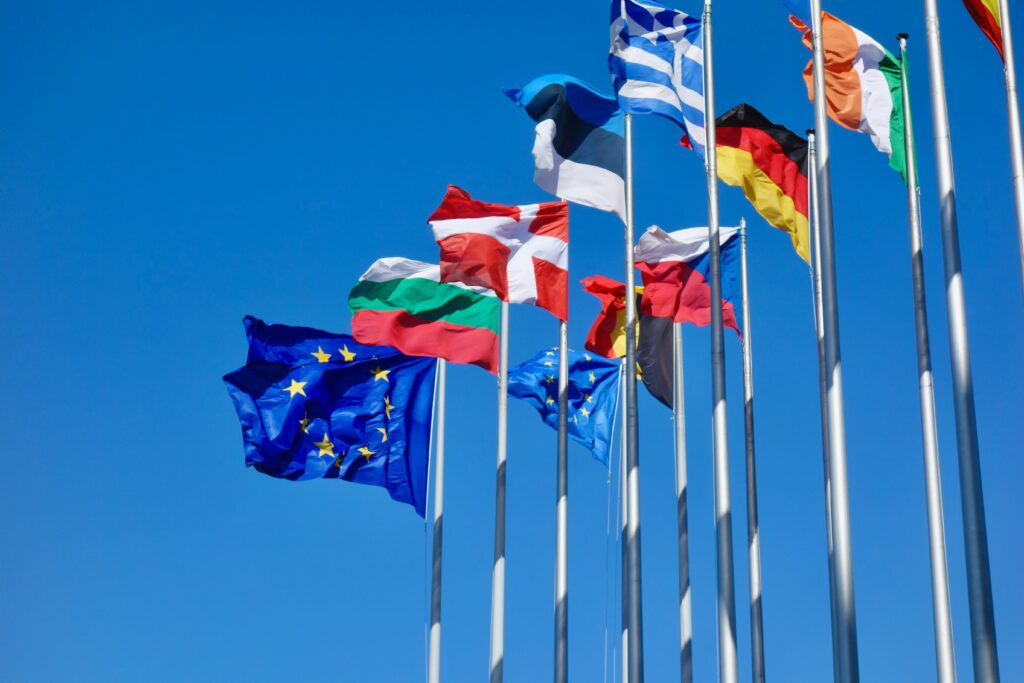
EUDR Platforms Explained: Turning Compliance into Clarity
The EU Deforestation Regulation (EUDR) has quickly become one of the most talked-about environmental laws in global trade. It’s not just another sustainability initiative; it’s a regulation with real consequences. Businesses importing or exporting products like coffee, cocoa, soy, wood, palm oil, or cattle now face a legal requirement to prove that everything they sell […]
EUDR Geolocation Requirements: What Businesses Need to Know
If you work with commodities like coffee, cocoa, soy, or timber, you’ve probably heard about the EU Deforestation Regulation (EUDR). What’s getting most companies’ attention right now isn’t just the paperwork or due diligence statement – it’s the geolocation data behind it. The regulation demands that every product entering the EU can be traced back […]
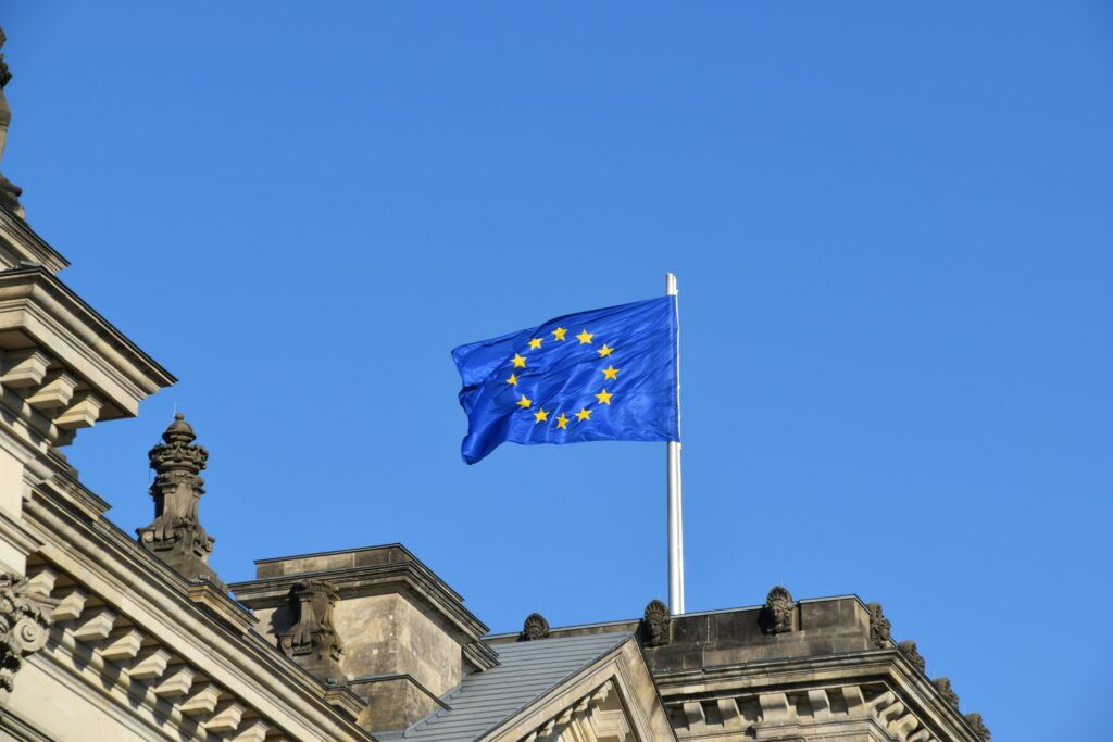
EUDR High-Risk Countries: What the Classification Really Means
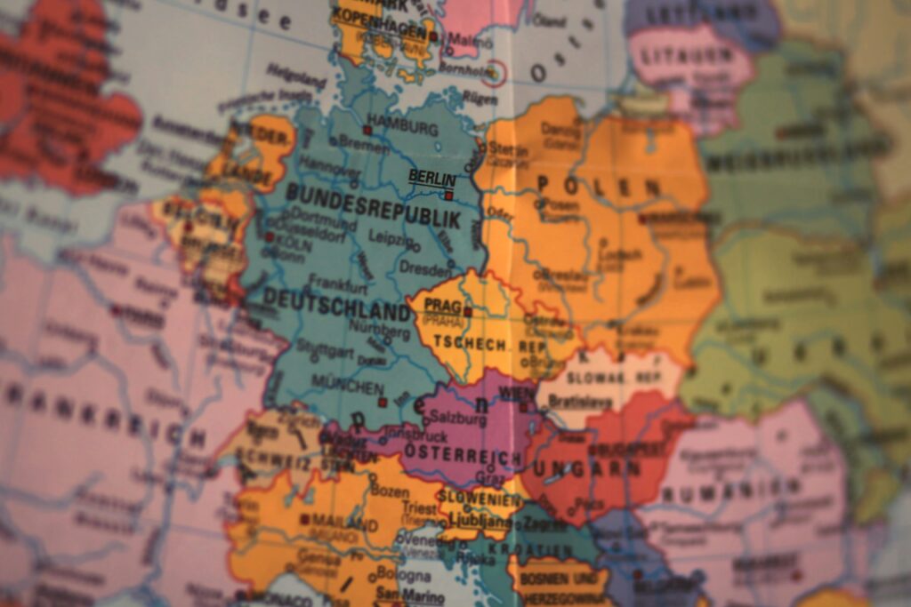
When the EU Deforestation Regulation (EUDR) was adopted, it came with one key promise: to make global trade more sustainable by keeping deforestation-linked products out of the European market. But to make that promise work in practice, the European Commission needed a way to determine which countries pose higher or lower risks of deforestation. That’s […]
EUDR Low-Risk Countries: What the 2025 Classification Means
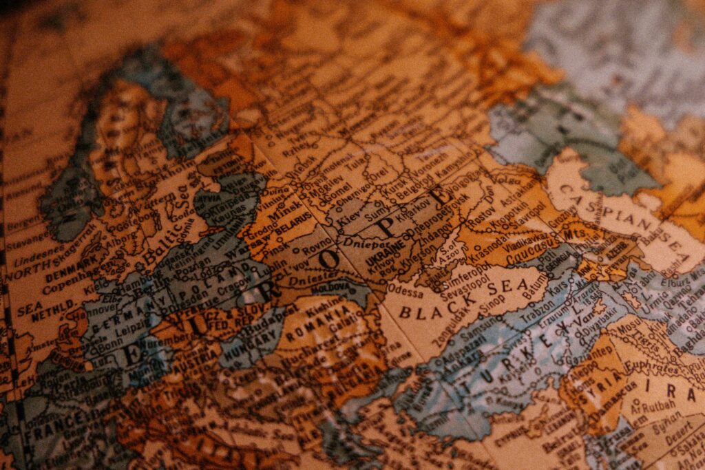
When the European Commission released its first official country classification under the EU Deforestation Regulation (EUDR) in May 2025, many industry professionals expected a tough, selective list. Instead, what came out surprised almost everyone: the majority of global trade partners, including all EU member states, were labeled as low risk. At first glance, this seemed […]
EUDR Reporting: How to Get It Right Without Losing Your Mind

If you work in supply chains, sustainability, or compliance, chances are the letters EUDR have already made their way into your inbox, your meetings, and probably your worries. The EU Deforestation Regulation changes how companies prove where their products come from and what impact they have on forests. EUDR reporting isn’t just about ticking boxes […]
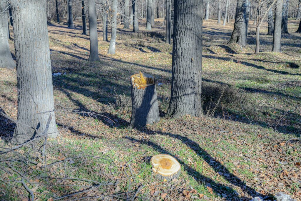
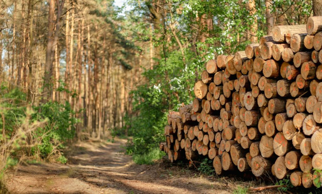
EUDR Solutions That Make Compliance Simpler and Smarter

When the European Union introduced the Deforestation Regulation (EUDR), it didn’t just set a new environmental rule. It reshaped how global supply chains work. For companies trading in products like coffee, cocoa, palm oil, wood, or rubber, compliance isn’t a side task anymore. It’s a full-scale responsibility that touches sourcing, logistics, and sustainability reporting all […]
Understanding EUDR Country Risk Classification
When the European Union approved the Deforestation Regulation (EUDR), it set a new standard for how companies handle supply chain responsibility. The idea is simple in theory: only deforestation-free products can enter or leave the EU market. In practice, however, staying compliant means navigating a detailed framework that includes country benchmarking, data verification, and reporting. […]
What You Need to Know About EUDR Reporting
The EU Deforestation Regulation (EUDR) is no longer just a policy document sitting on someone’s desk in Brussels. If you deal with commodities like coffee, cocoa, palm oil, soy, rubber, cattle, or timber and want access to the EU market, EUDR reporting is now a real part of your supply chain process. There’s a lot […]
Understanding EUDR Due Diligence Requirements
The EU Deforestation Regulation (EUDR) is changing the game for companies that source or trade in certain commodities. We’re not just talking about optional sustainability initiatives anymore. If you’re placing products like coffee, palm oil, timber, soy, or cattle on the EU market, you now have a legal obligation to prove that your supply chain […]
EUDR Competent Authorities: Who They Are and Why They Matter
When the European Union introduced the Deforestation Regulation (EUDR), it didn’t just write another environmental law and call it a day. It built an entire enforcement system around it. At the center of that system are the competent authorities – official bodies in each EU member state responsible for making sure businesses comply with the […]