Remote Sensing Deforestation Monitoring: Technologies, Tools, and Compliance
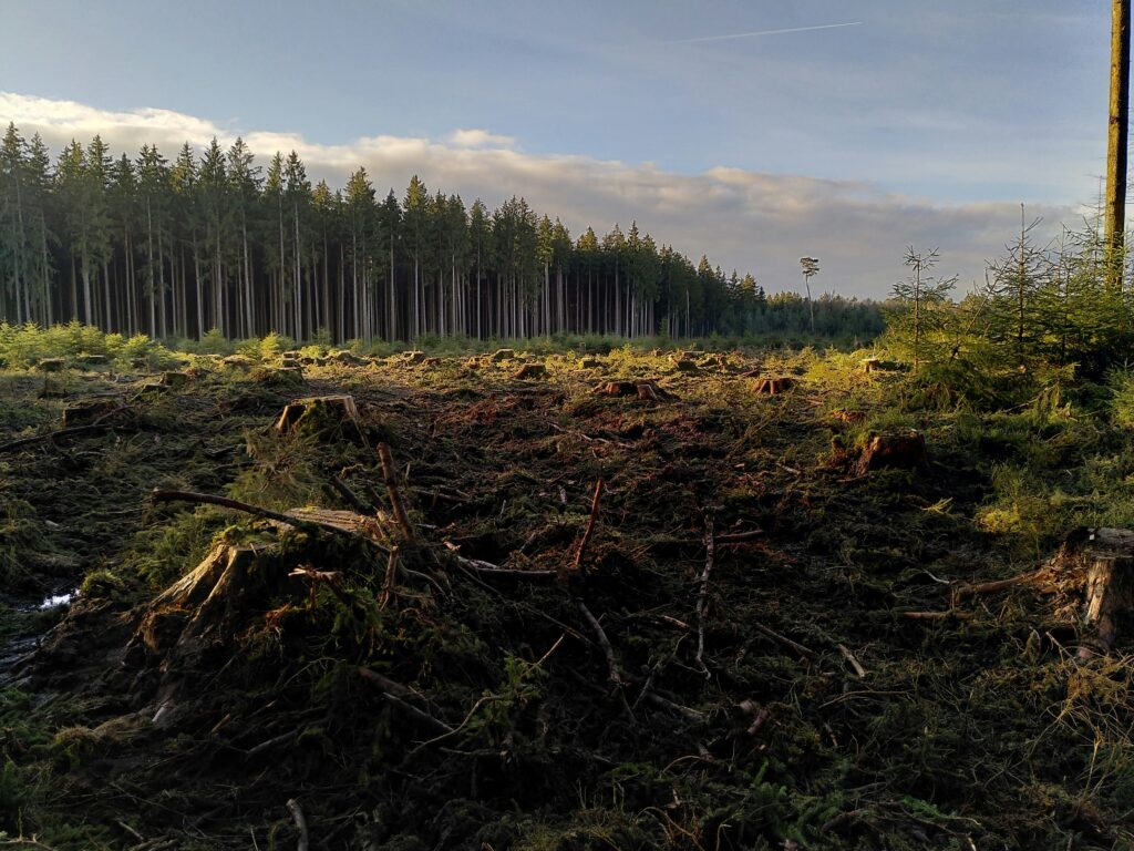
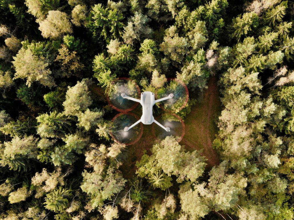
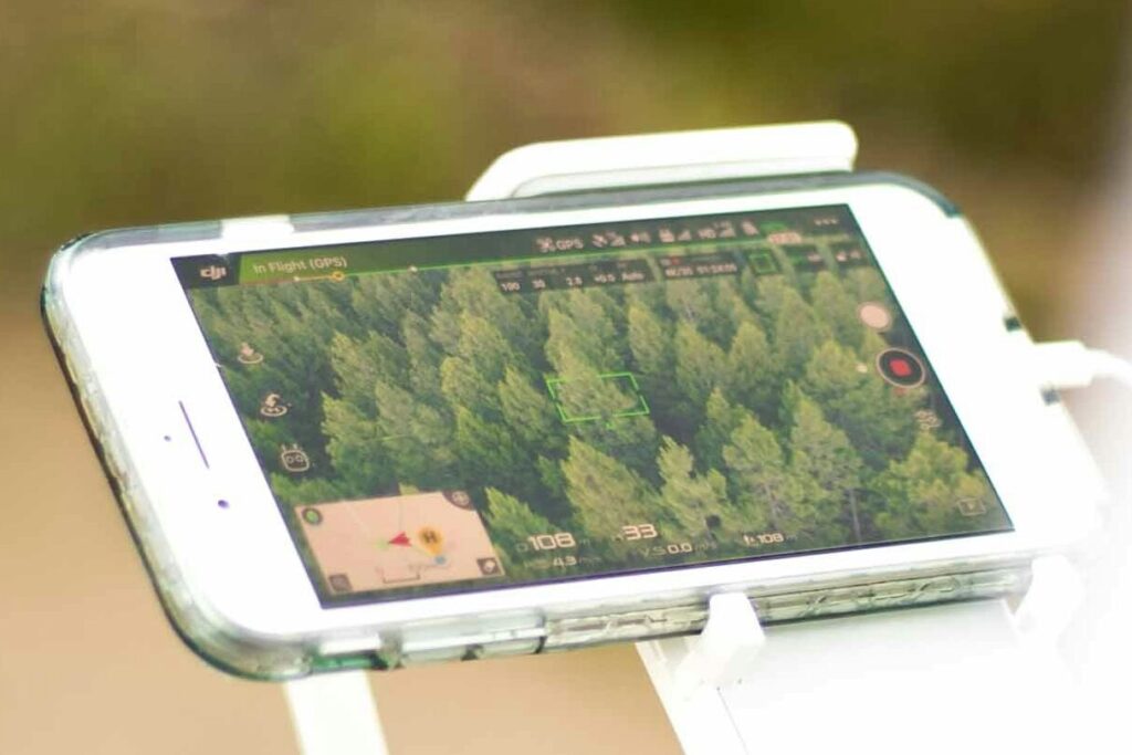
Tracking forest loss from the ground is no longer practical at scale. Remote sensing now plays a central role in how deforestation is detected, documented, and addressed – particularly for companies subject to environmental due diligence. From high-resolution satellite imagery to AI-driven risk alerts, remote sensing offers a direct path to transparency. The question is […]
Geospatial AI Solutions for Navigating EU Deforestation Law Requirements
Meeting the EU’s deforestation-free rules isn’t just about paperwork anymore. With the regulation now placing full responsibility on importers and traders, the ability to verify sourcing areas with precision has become critical. Geospatial AI is helping close that gap – offering a way to track, monitor, and report deforestation risks using real-time satellite imagery and […]
Geospatial Tools and Platforms for Monitoring Deforestation Across Regulatory and Environmental Use Cases
Monitoring deforestation isn’t just about meeting EUDR requirements. It’s become a core responsibility for companies, governments, and NGOs working to manage land use, reduce environmental risk, and protect ecosystems. Whether you’re building a compliance framework, running conservation programs, or mapping long-term land cover change, visibility on forest loss is no longer optional. Satellite-powered software platforms […]
Deforestation Monitoring Software and Tools for Global Compliance
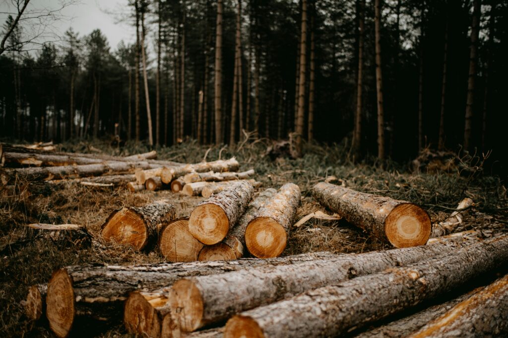
Deforestation monitoring is no longer just a data challenge – it’s a compliance and sustainability issue with real consequences. Companies across supply chains are under growing pressure to prove that their raw materials are not linked to illegal logging or recently cleared land. That means having reliable systems in place to track land use, flag […]
Seguimiento de la deforestación mediante teledetección y tecnologías de datos geoespaciales
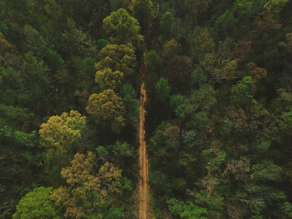
Forest loss rarely happens in plain sight. It unfolds across distant regions, in fragmented patches, often too fast for traditional oversight to keep up. That’s where remote sensing steps in. With satellites, drones, and AI-driven analysis, organizations can detect land-use change at scale, flag high-risk zones, and trace sourcing regions – even in areas that […]
Principales empresas de control de la deforestación ilegal para el cumplimiento de la normativa y la gestión de riesgos
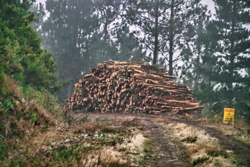
Illegal deforestation isn’t just a conservation issue anymore – it’s now tightly linked to how businesses operate across borders. With the EU Deforestation Regulation (EUDR) in force and more pressure globally for land-use transparency, companies can’t afford to treat forest monitoring as a side project. Tools that track land clearing, flag risk, and provide proof […]
Herramientas de seguimiento por satélite para la deforestación y el cumplimiento de la EUDR
Satellite imagery isn’t just for looking at clouds anymore. For companies navigating EUDR compliance, remote sensing has become a real backbone – something you almost can’t avoid if you’re working with land-linked commodities. Regulations are tightening, and the need for traceable, verifiable land-use data is now front and center. Whether you’re trying to stay ahead […]
Software de control forestal que se adapta realmente a los flujos de trabajo de cumplimiento de la normativa
Getting forest monitoring right isn’t just about pulling up satellite images. It’s about making sure those images – and the data behind them – actually tell you something useful for compliance. Whether you’re trying to meet EUDR standards or just stay ahead of supply chain risk, you need tools that do more than show a […]
Cómo la teledetección permite un seguimiento de la deforestación escalable y basado en datos
Forest loss isn’t just an environmental issue – it’s a traceability and compliance risk. With remote sensing, organizations gain verifiable, time-stamped data on where forest degradation is occurring, how fast it’s progressing, and what’s driving it. Whether you’re reporting against EUDR requirements or building a land-use policy framework, satellite imagery and geospatial analysis offer the […]
Herramientas de control para detectar la deforestación ilegal en las cadenas mundiales de suministro
Detecting illegal deforestation isn’t just a technical challenge – it’s a compliance risk, a reputational hazard, and in many sectors, a regulatory requirement. As scrutiny around supply chains grows, especially with frameworks like the EU Deforestation Regulation (EUDR), companies are turning to software platforms that convert raw satellite data into actionable insights. These tools don’t […]