Meeting the EU’s deforestation-free rules isn’t just about paperwork anymore. With the regulation now placing full responsibility on importers and traders, the ability to verify sourcing areas with precision has become critical. Geospatial AI is helping close that gap – offering a way to track, monitor, and report deforestation risks using real-time satellite imagery and machine learning. It’s not just about detection, either. These tools are shaping how companies prove compliance before products ever reach the EU market.
What the EU Deforestation Regulation (EUDR) Actually Requires
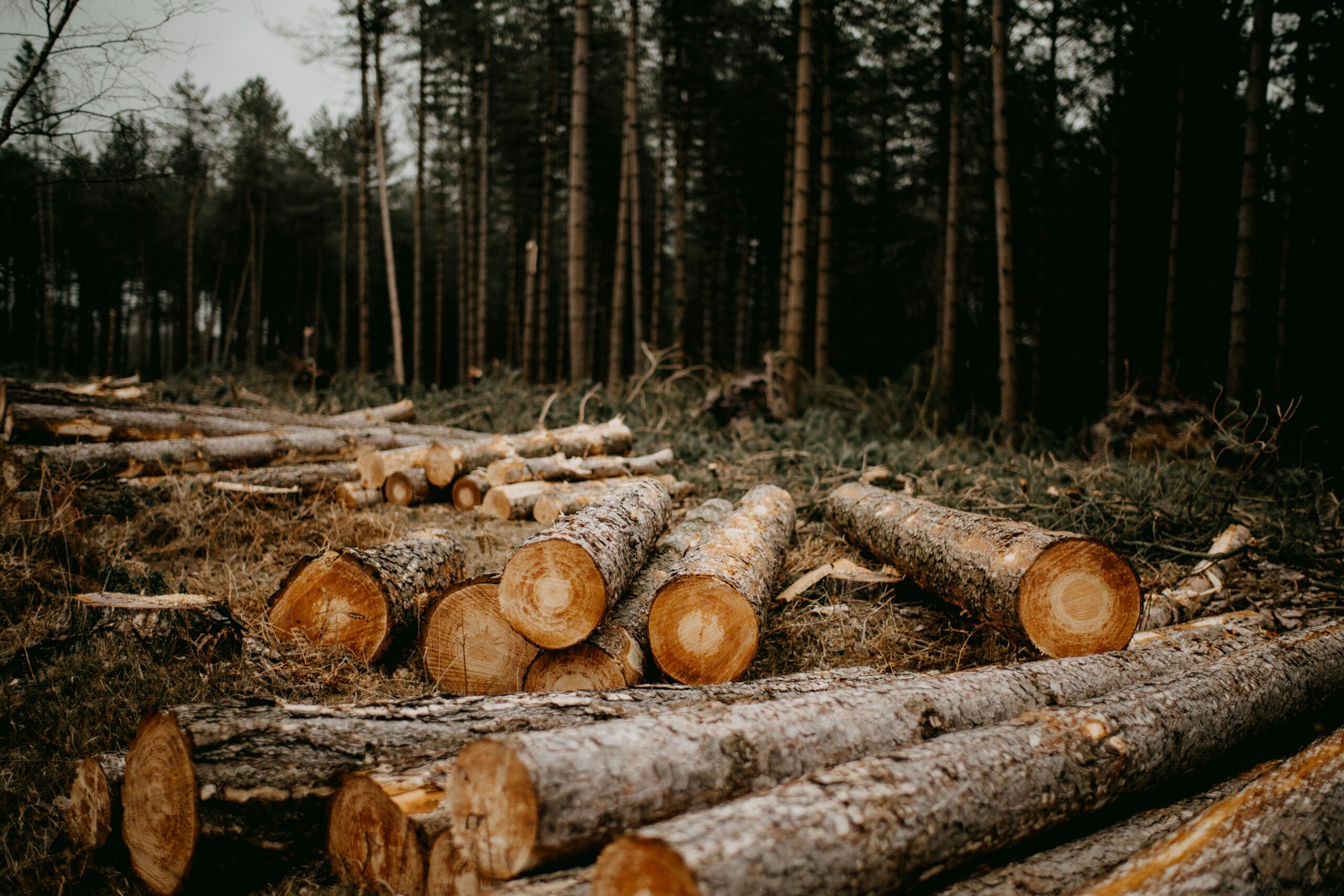
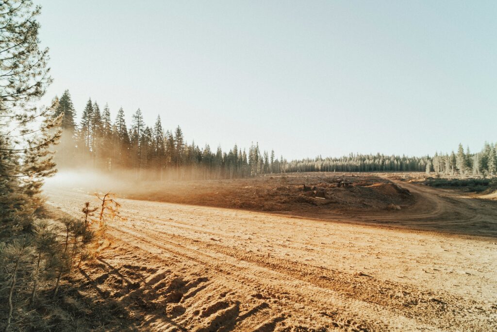
The EU Deforestation Regulation sets out a clear expectation: if you’re trading certain products within or into the EU, you need to prove they weren’t sourced from land that was recently deforested. That includes everything from raw materials like soy, palm oil, and timber to finished goods like chocolate, leather, and furniture. What’s different here is the legal structure – the burden of proof sits entirely with the company. No guesswork, no assumptions. You need verified geolocation data, proof of legality, and documentation that shows the land wasn’t cleared after the cutoff.
It’s not just a formality. The regulation is designed to close loopholes and create real accountability. Companies are expected to run a full due diligence process, assess sourcing risks, and be ready to back up every claim with evidence. Failing to do that can lead to financial penalties, blocked shipments, or even a ban from public procurement. In short, it’s no longer enough to trust your supply chain – you have to be able to prove it’s clean, down to the plot level.
Why Geospatial AI Is Central to EUDR Compliance
For companies trying to meet EUDR requirements, satellite data and machine learning aren’t just nice-to-have – they’re becoming essential tools. Traditional supply chain checks can only go so far. You might know your supplier, but can you pinpoint the exact land where the commodity was grown? Can you prove it hasn’t been cleared recently? That’s where geospatial AI steps in, turning raw imagery into actionable evidence.
Here’s why it matters:
- Pinpointed geolocation verification: Geospatial AI can match supplier data to specific land plots using satellite imagery, helping companies submit accurate, verifiable coordinates for each sourcing location.
- Automated land-use change detection: Machine learning models track shifts in forest cover over time. If a plot was cleared after the legal cutoff, the system can flag it before the product enters the EU market.
- Continuous supply chain monitoring: Instead of checking compliance once, companies can use AI to monitor high-risk areas on an ongoing basis – minimizing exposure and catching issues early.
- Risk assessment support: Remote sensing data adds a visual layer to risk scoring, helping businesses identify regions with a history of illegal clearing or weak enforcement.
- Evidence for audits and investigations: When enforcement authorities request proof, having time-stamped, high-resolution imagery and AI-generated change reports gives companies a concrete way to respond.
With geospatial AI, the focus shifts from assumptions to evidence – which is exactly what the regulation demands.

How EUDR Helps Companies Navigate the Law
En EUDR, we support companies that need to understand and apply the EU Deforestation Regulation with precision. The law demands more than good intentions – it requires full traceability, verifiable geolocation data, and clear evidence that no deforestation has occurred. We help break that down into something usable. Whether you’re just starting to map your supply chain or reviewing existing compliance steps, we guide you through the legal logic without overcomplicating it.
Our focus is practical. We walk businesses through the reversed burden of proof, help prepare documentation that actually satisfies regulatory expectations, and explain how substantiated concerns might apply to your operations. If your team needs a second look at how your processes align with the regulation – or if you simply don’t know where to begin – you can reach us at info@eudr.com. We’re here to make the legal side of sustainability easier to manage.
Examples of Geospatial AI Tools Supporting EUDR
There’s no shortage of platforms offering satellite analysis, but when the goal is regulatory compliance – not just land mapping – only a few actually deliver what the EU Deforestation Regulation demands. Below are several tools already being used to support traceability, risk assessment, and evidence collection across supply chains.
Picterra: Custom Models for Land-Use Detection
Picterra gives users the ability to build and train their own AI models based on specific types of land use. That’s useful when you’re sourcing from mixed-use landscapes or working across multiple regions where one-size-fits-all detection just doesn’t cut it. The platform can track everything from forest clearing to plantation growth, and it produces outputs that plug directly into risk assessments and documentation workflows. For companies that need monitoring tailored to their sourcing footprint, it’s a flexible choice.
Satelligence: Near Real-Time Monitoring for Commodities
Satelligence focuses on global supply chains, with specific attention to high-risk commodities like palm oil, cocoa, and soy. It provides near real-time alerts on deforestation activity and matches those alerts to known supplier locations. What stands out here is the speed – the system is designed to flag problems early enough to act before goods are shipped. It’s used by both corporates and certifiers to validate sustainability claims with geospatial evidence.
AtlasZero: Bridging Satellite Intelligence with Policy
AtlasZero takes a slightly different approach by combining geospatial monitoring with legal alignment tools. Their platform doesn’t just show you where deforestation is happening – it also helps interpret how that might impact your EUDR obligations. From supplier-level risk scoring to documentation prep, it’s designed for businesses trying to move from general ESG monitoring to concrete, regulation-focused action. The legal layer is what makes it stand out.
What to Prioritize When Choosing a Geospatial AI Partner
Not every mapping tool or satellite platform is built with regulatory compliance in mind. When it comes to the EU Deforestation Regulation, the stakes are high – and your choice of technology partner needs to reflect that. It’s not just about the quality of the satellite images or how slick the interface looks. It’s about whether the tool can actually support the legal requirements tied to traceability, documentation, and land-use verification.
Start by checking how the platform handles geolocation accuracy. Can it tie a commodity to a specific land parcel? Does it retain a history of land-use change for that location? You’ll also want to ask what kind of reporting outputs are available – if you can’t generate clear, time-stamped evidence for audits or substantiated concerns, that’s a problem. Flexibility matters too. A strong provider should be able to adapt to your supply chain setup, not expect you to rewire your systems around theirs. And make sure they’re familiar with EUDR expectations. If they’re not using the same vocabulary – reversed burden of proof, deforestation cut-off, due diligence statement – that’s your first red flag.
Benefits of Using Geospatial AI for EUDR Compliance
Geospatial AI has moved from optional to essential in the context of EUDR. It helps companies meet strict traceability and reporting obligations with clarity and speed, while reducing the margin for error. Here’s how:
- Faster detection of land-use change: With up-to-date satellite imagery, companies can monitor forest loss almost in real time. That allows for early intervention – ideally before goods linked to non-compliant land ever move through the supply chain.
- Reliable traceability down to the plot level: AI-driven mapping tools connect commodities to specific land parcels, offering visual, time-stamped proof that a product didn’t come from recently deforested land. This type of documentation is hard to contest during audits or investigations.
- Scalable monitoring across complex supply chains: Manually verifying every farm or sourcing area isn’t feasible at scale. Geospatial AI automates that process, flagging deforestation risks across thousands of locations without requiring constant human oversight.
- Stronger risk assessment and smarter decisions: Instead of treating all suppliers as equally risky, geospatial AI lets you prioritize. It highlights sourcing regions with deforestation history or enforcement gaps, so teams can focus attention where it matters most.
- Better preparation for audits and enforcement: When authorities ask for documentation, spreadsheets and emails won’t cut it. AI platforms can generate formal change reports, historical imagery, and deforestation alerts – making due diligence files more robust and defensible.
Conclusión
Complying with the EU Deforestation Regulation isn’t just a box-ticking exercise – it’s about proving, with precision, that your supply chain isn’t tied to recently cleared land. Geospatial AI is making that possible in a way that manual processes and spreadsheets never could. From satellite-backed land verification to real-time risk alerts, these tools are reshaping how businesses manage traceability and legal exposure. But choosing the right solution isn’t just about technology. It’s about knowing your obligations, asking the right questions, and being able to show regulators that you didn’t just assume – you verified. That’s where real compliance starts.
If you’re trying to figure out what that looks like in your own supply chain – or how to align your current workflows with what the law expects – the earlier you start, the better. EUDR enforcement isn’t theoretical. It’s coming, and it’s going to reward companies that are ready to back up their claims with evidence.
PREGUNTAS FRECUENTES
1. Do I need geospatial AI to comply with EUDR, or can I rely on supplier declarations?
Under the EUDR, supplier declarations alone won’t cut it. You need verifiable evidence, including geolocation coordinates tied to sourcing plots. Geospatial AI makes it possible to generate and maintain that proof in a scalable, defensible way.
2. What happens if I can’t prove the origin of my product?
If you’re unable to provide proper documentation or geolocation data, your product may be considered non-compliant. That can lead to fines, shipment delays, or removal from the EU market. The regulation places the burden of proof entirely on the company – not the authorities.
3. Is free satellite data enough, or do I need a full AI-based platform?
Open-source data can help with basic analysis, but for EUDR compliance, you’ll need more than a few satellite screenshots. AI platforms can detect change over time, generate structured reports, and integrate into your due diligence systems – which is what audits and legal checks actually rely on.
4. How often should I monitor my sourcing areas?
There’s no fixed rule in the law, but relying on a one-time check is risky. Ongoing monitoring allows you to catch changes in land use before they become compliance issues. Most platforms update imagery weekly or monthly, depending on the region and cloud cover.
5. What should I look for in a geospatial AI provider?
Make sure they understand the regulation, not just the tech. The platform should let you verify coordinates, detect land-use change, generate reports, and support audit readiness. If they can’t talk about reversed burden of proof or due diligence statements, keep looking.