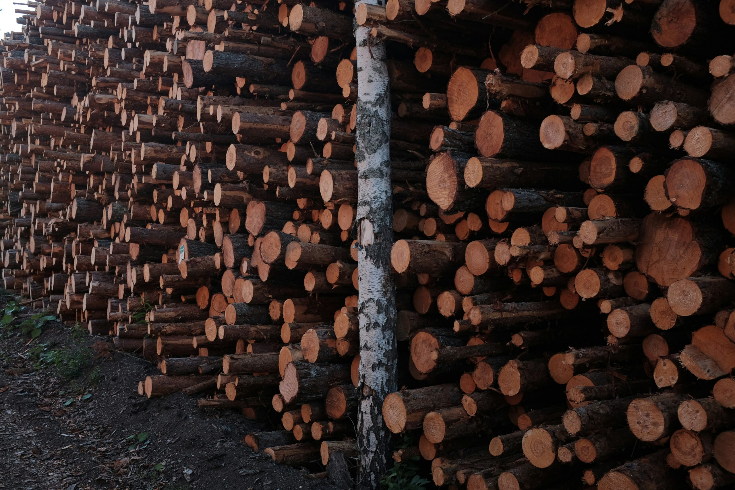
Satellite imagery isn’t just for looking at clouds anymore. For companies navigating EUDR compliance, remote sensing has become a real backbone – something you almost can’t avoid if you’re working with land-linked commodities. Regulations are tightening, and the need for traceable, verifiable land-use data is now front and center.
Whether you’re trying to stay ahead of enforcement or just figure out where your risks are hiding, satellite monitoring gives you the kind of scale and consistency that manual field checks can’t. Below, we’ve laid out a few tools that help track forest change, flag high-risk areas, and support the documentation you’ll need for due diligence. The tech varies, but the goal is the same: better visibility, less guesswork.
1. EUDR
EUDR.co offers consultancy services to guide organizations on EUDR compliance, helping them integrate satellite monitoring tools into their due diligence strategy, but does not directly partner with specific monitoring software providers. Our role is to help organizations understand and implement the due diligence obligations laid out in the EU Deforestation Regulation (EUDR). That includes helping them identify where satellite-based monitoring fits into their compliance strategy, what kind of land-use evidence they need to gather, and how to align data sources with legal requirements.
We support clients by offering compliance strategy, risk evaluation frameworks, and clear interpretation of what the regulation expects. The satellite tools may provide the visuals, but our job is to make sure those visuals meet the legal standard. Many companies come to us unsure how to verify their supply chain. We walk them through what needs to be documented, what gets flagged as non-compliant, and how to build a process that holds up under regulatory review.
Principais destaques:
- Helps companies connect satellite data with EUDR due diligence
- Offers legal context for monitoring and verification workflows
- Clarifies what counts as evidence under the reversed burden of proof
- Supports supply chains linked to soy, wood, cattle, and other regulated goods
Who it’s best for:
- Mid to large companies under EUDR scope
- Distributors and importers handling deforestation-risk commodities
- Compliance and ESG teams setting up audit-ready processes
- Legal leads interpreting EU environmental law
Informações de contacto:
- Sítio Web: eudr.co
- Correio eletrónico: info@eudr.com
- Endereço: Robert-Bosch-Str. 7, 64293 Darmstadt,Alemanha
- Telefone: +49 6151 2776497
2. Planet
Planet makes it possible to watch forests shift almost in real time. Their satellites take high-cadence images – some daily – which means you don’t have to wait weeks to spot signs of logging or canopy loss. It’s useful not just for compliance, but for staying on top of operational changes too.
Their platform includes data from PlanetScope and SkySat, so you can look at both broad patterns and zoom in when something seems off. The tools work through a browser, an API, or can be built right into your own systems. For EUDR, the historical basemaps and archive access help build a track record of land use – especially handy when you need long-term evidence.
Principais destaques:
- Frequent satellite imagery with broad and detailed coverage
- Historical and live views of forest change
- Supports map-based planning, compliance files, and degradation tracking
- Flexible access via dashboard, API, or direct integration
Who it’s best for:
- Forestry operators managing harvest zones
- NGOs tracking illegal clearing and conversion
- Companies building land-use files for EUDR submissions
- Teams monitoring vegetation health and canopy stress
Informações de contacto:
- Sítio Web: www.planet.com
- Correio eletrónico: press@planet.com
- Facebook: www.facebook.com/PlanetLabs
- Twitter: x.com/planet
- LinkedIn: www.linkedin.com/company/planet-labs
- Instagram: www.instagram.com/planetlabs
- Endereço: 645 Harrison Street, 4º andar, São Francisco, CA 94107
3. Swift Geospatial
Swift Geospatial blends satellite images with GIS tools to keep an eye on land use. They’re especially active in sectors like cocoa, timber, and palm oil – places where visibility into remote regions can make or break a compliance strategy.
The platform helps spot illegal activity quickly and maps out forest encroachment, degradation, or other changes that regulators care about. While they don’t offer legal interpretation, their dashboard gives a clear visual layer that ESG teams can use to take action – or document that they already have.
Principais destaques:
- Real-time detection of forest change and unauthorized activity
- GIS-based tools for mapping, carbon accounting, and inventory
- Used in cocoa, timber, livestock, and other regulated supply chains
- Visual layers support faster response and compliance tracking
Who it’s best for:
- Companies with distributed sourcing regions
- Teams needing fast alerts about deforestation risk
- Supply chain compliance managers preparing reports
- Conservation groups focused on habitat and land integrity
Informações de contacto:
- Sítio Web: swiftgeospatial.solutions
- Correio eletrónico: info@swiftgeospatial.solutions
- Facebook: www.facebook.com/swiftgeospatial
- LinkedIn: www.linkedin.com/company/swift-geospatial
- Instagram: www.instagram.com/swiftgeospatial
- Endereço: CSIR, Building 4, 1st Floor, Meiring Naudé Rd, Brummeria, Pretória, 0184
- Telefone: +27 12 756 4950
4. EOSDA LandViewer
EOSDA LandViewer is one of those tools that feels like a satellite control room in your browser. You can pull up data from sources like Sentinel-2 or Landsat, apply indices like NDVI or NBR, and track exactly how forest conditions are changing over time – even down to pixel level.
It doesn’t interpret EUDR for you, but it does give you a solid layer of visual documentation. If your compliance process needs snapshots, maps, or long-view comparisons, LandViewer helps you pull those together. The interface is flexible, the export options are useful, and the historical imagery goes back decades – which is more than enough to prove land-use history.
Principais destaques:
- Multispectral and radar data access, with custom indices
- Pixel-level detection for forest loss and burn zones
- Historical imagery archives going back to 1982
- Visual outputs that support compliance and restoration tracking
Who it’s best for:
- Companies needing historic land-use baselines
- Researchers and NGOs monitoring canopy degradation
- ESG leads preparing audit-ready visual documentation
- Teams verifying sourcing regions for EUDR claims
Informações de contacto:
- Website: eos.com
- E-mail: sales@eosda.com
- Facebook: www.facebook.com/EOSDA
- Twitter: x.com/eos_da
- LinkedIn: www.linkedin.com/company/eos-data-analytics
- Instagram: www.instagram.com/eosdataanalytics
- Address: 800 W. El Camino Real, Suite 180, Mountain View, CA 94040 USA

5. GELO
ICEYE takes a different approach to forest monitoring. Instead of relying on optical satellite images that can be blocked by clouds, they use synthetic aperture radar (SAR). That means their system can keep an eye on forest changes day or night, rain or shine – something that’s especially useful in tropical zones where cloud cover makes regular monitoring tricky.
The platform is good at spotting things like linear intrusions – roads, fire breaks, early-stage clearing – that often signal something’s going wrong. It also supports fire tracking and can pick up structural shifts after major burns. ICEYE doesn’t handle the legal side of compliance, but the clarity and frequency of their imagery gives ESG teams and regulators solid data to work with when building out land-use records.
Principais destaques:
- Works in all weather and lighting using radar-based imaging
- Detects deforestation patterns, including illegal logging or encroachment
- Helps spot road cuts and early-stage clearing activities
- Supports wildfire damage analysis and forest structure monitoring
Who it’s best for:
- Teams overseeing forest areas in cloud-heavy regions
- NGOs and public agencies needing constant visual coverage
- Compliance teams that require reliable, radar-based change detection
- Investigators documenting unauthorized land use or clearing
Informações de contacto:
- Sítio Web: www.iceye.com
- Facebook: www.facebook.com/iceye
- Twitter: x.com/iceye_global
- LinkedIn: www.linkedin.com/company/iceye
- Endereço: Maarintie 6, 02150 Espoo, Finlândia

6. Starling
Starling is the result of a collaboration between Earthworm Foundation and Airbus, and it brings together detailed satellite imagery with deep supply chain knowledge. It’s built for companies trying to get serious about traceability and no-deforestation sourcing – especially as EUDR enforcement comes into sharper focus.
What’s different about Starling is how it combines early alerts with layered analysis – plantation maps, mill-level sourcing, historical change detection. It’s not a legal tool, but it gives companies structured, geo-linked evidence that can plug into EUDR reporting. The goal is to help users catch problems early and back up their Deforestation and Conversion-Free (DCF) claims with real data.
Principais destaques:
- Combines Airbus satellite tech with on-the-ground supply chain insight
- Tracks land use at the plantation, mill, and landscape level
- Issues early alerts and provides historic forest change records
- Supports traceability and DCF reporting in line with EUDR requirements
Who it’s best for:
- Companies sourcing palm, cocoa, or pulp from high-risk regions
- Teams verifying deforestation-free claims at the supplier level
- ESG and procurement leads building compliance frameworks
- Brands looking for both monitoring and boots-on-the-ground context
Informações de contacto:
- Website: earthworm.org
- Facebook: www.facebook.com/EarthwormFoundation
- LinkedIn: www.linkedin.com/company/earthworm-foundation
- Instagram: www.instagram.com/earthworm_foundation
- Address: Route de Divonne 50A, 1260 Nyon, Switzerland
- Phone: +41 (0)22 565 20 95
7. Mighty Earth
Mighty Earth doesn’t sell a platform but uses satellite data from sources like Global Forest Watch in their Rapid Response program to drive accountability campaigns in deforestation hotspots. Their Rapid Response program connects satellite-based deforestation alerts with sourcing data to call out companies linked to new clearing – often before it snowballs into something bigger.
They focus on high-risk sectors like palm oil, soy, cocoa, and beef. When land cover changes show up on satellite images, Mighty Earth checks who’s sourcing from those regions, then puts pressure on brands to respond. It’s not about regulation – it’s about speed, transparency, and putting deforestation on the record before it’s buried.
Principais destaques:
- Links satellite imagery with sourcing relationships to trace accountability
- Covers palm oil, soy, cattle, cocoa, and other deforestation-linked sectors
- Publishes public reports on supply chain violations and brand exposure
- Supports watchdog campaigns and third-party pressure initiatives
Who it’s best for:
- NGOs and watchdogs tracing deforestation risk in supply chains
- ESG teams reviewing deforestation exposure from sourcing partners
- Buyers checking supplier transparency under EUDR
Informações de contacto:
- Sítio Web: mightyearth.org
- Correio eletrónico: inquiry@mightyearth.org
- Facebook: www.facebook.com/StandMighty
- LinkedIn: www.linkedin.com/company/mightyearth
- Instagram: www.instagram.com/standmighty
- Telefone: (771) 772-3434
8. MAAP (Monitoring of the Andes Amazon Program)
MAAP is run by Amazon Conservation, and it’s one of the more active monitoring initiatives in the Amazon basin. They combine data from satellites like Landsat, Sentinel, and Planet to issue rapid alerts about deforestation and fire events. But what sets them apart is their direct coordination with enforcement teams – they’re not just watching, they’re supporting response.
MAAP shares tailored reports with partners, including NGOs and Indigenous land monitors, to support deforestation response efforts in the Amazon. Some alerts are public, others are confidential depending on sensitivity. The goal is to shrink the gap between forest clearing and real intervention. In places where reaction time matters, MAAP helps close that loop.
Principais destaques:
- Provides real-time alerts using satellite and radar imagery
- Shares high-priority alerts publicly to support awareness
- Supports Indigenous land defense and local monitoring teams
Who it’s best for:
- Agencies tasked with forest protection across the Amazon
- NGOs working with Indigenous communities on territory defense
- Journalists or researchers tracking land change events
- Field teams responding to illegal clearing in real time
Informações de contacto:
- Website: www.maapprogram.org
- Facebook: www.facebook.com/AmazonConservation
- Twitter: x.com/ACA_DC
- LinkedIn: www.linkedin.com/company/amazon-conservation-association
- Instagram: www.instagram.com/amazonconservation

9. Omdena AI for Deforestation
Omdena takes a different route from traditional monitoring platforms. Instead of offering a fixed product, they build custom AI models that plug into deforestation monitoring workflows. The tech can handle things like analyzing satellite images, predicting where illegal logging might happen next, or helping plan reforestation efforts.
Most of what they do is co-created with local teams – governments, NGOs, researchers – so the solutions tend to reflect what’s actually needed on the ground. Their work is especially helpful if you’re in early development or testing out innovative approaches. It’s not a compliance platform, but it can feed directly into alert systems, risk mapping, or even longer-term forest management aligned with EUDR frameworks.
Principais destaques:
- Custom AI models for satellite analysis and risk prediction
- Collaborative build process with local ownership of the tools
- Covers illegal logging alerts, reforestation planning, and fire detection
- Adaptable for commodity-specific or region-specific use cases
Who it’s best for:
- Teams developing AI pipelines for forest risk analysis
- Governments testing predictive alerts for illegal activity
- NGOs working on regional trend models or early-warning systems
- Researchers exploring ML-based deforestation forecasting
Informações de contacto:
- Sítio Web: www.omdena.com
- Facebook: www.facebook.com/OmdenaAI
- Twitter: x.com/OmdenaAI
- LinkedIn: www.linkedin.com/company/omdena
- Instagram: www.instagram.com/omdenaglobal
10. Open Foris
Open Foris isn’t a single platform – it’s a toolkit. Developed under the FAO, it offers a range of open-source tools to support everything from field surveys to satellite image interpretation and land-use analysis. The idea is to give governments, NGOs, and tech teams a low-cost, adaptable way to build their own monitoring systems without having to rely on commercial software.
The suite includes tools like Collect Earth and SEPAL, which are used worldwide in MRV reporting, REDD+ submissions, and deforestation risk tracking. Because the tools are modular, they can be mixed and matched depending on what your workflow looks like – whether you’re doing ground truthing, geospatial analysis, or preparing EUDR-aligned documentation.
Principais destaques:
- Open-source suite for forest monitoring and geospatial analysis
- Covers data collection, satellite imagery, and MRV workflows
- Used in national reporting and sustainability programs
- Accessible for both tech specialists and non-developers
Who it’s best for:
- Government agencies running forest inventory and land-use monitoring
- REDD+ and UNFCCC teams handling formal submissions
- NGOs looking for free, adaptable tools for monitoring
- Projects needing transparency in deforestation reporting
Informações de contacto:
- Website: openforis.org
- Facebook: www.facebook.com/OpenForis
- Twitter: x.com/OpenForis
- LinkedIn: www.linkedin.com/company/open-foris

11. UP42
UP42 isn’t your typical dashboard-based platform. It’s built more like a developer toolkit for teams who want to integrate deforestation monitoring into their own systems. Users can pull satellite imagery from providers like Sentinel or Pleiades, run change detection algorithms, and automate the whole process using Python or APIs.
It’s especially useful if you already have a GIS workflow in place and just need a way to bring in new data or automate analysis. Outputs include binary maps, heatmaps, and other visuals that can help track how forest cover is changing over time – without having to rebuild your tech stack.
Principais destaques:
- Modular platform for satellite imagery and processing
- Ready-made tools for forest change detection
- Outputs include deforestation heatmaps and binary classifications
- Automates analysis using API or Python SDK
Who it’s best for:
- GIS and analytics teams with custom monitoring setups
- Organizations running their own compliance or risk workflows
- Technical users needing flexible imagery analysis
- Teams preparing environmental change reports
Informações de contacto:
- Website: up42.com
- E-mail: sales@up42.com
- Facebook: www.facebook.com/up42Official
- Twitter: x.com/UP42_
- LinkedIn: www.linkedin.com/company/up42
- Instagram: www.instagram.com/up42official

12. Osapiens HUB for EUDR
Osapiens HUB is focused squarely on regulatory compliance, especially the EU Deforestation Regulation. It’s not a forest monitoring tool in the traditional sense – it’s more of a workflow system that helps you collect geolocation data, assess risk, and prepare Due Diligence Statements (DDS) for submission.
What makes it useful is how everything fits into one place: supplier data, risk scoring, legality checks, and structured output for auditors. You can collect data via mobile app, manage cases through the platform, and track orders that need closer scrutiny. While it doesn’t generate satellite imagery itself, it uses satellite-derived indicators in its assessments.
Principais destaques:
- Built for EUDR-aligned data collection and DDS submission
- Automated legality and deforestation risk scoring
- Supplier portal and mobile app for easy data input
- Integrates geolocation, audit records, and statement tracking
Who it’s best for:
- Companies placing regulated commodities on the EU market
- Legal and ESG teams handling EUDR obligations
- Procurement managers needing end-to-end traceability
- Firms building an audit-ready documentation system
Informações de contacto:
- Sítio Web: osapiens.com
- LinkedIn: www.linkedin.com/company/osapiens
Conclusão
Forest monitoring is no longer just about tracking trees – it’s become a central piece of how we manage regulatory compliance, especially under frameworks like EUDR. The tools available today are varied for a reason. Some focus on high-resolution imagery. Others help you file reports, score supplier risk, or respond to alerts faster. They’re not interchangeable, but they do point in the same direction: clearer data, better traceability, and faster action when something goes wrong.
If you’re working to meet EUDR standards, picking the right setup isn’t just about image quality or how sleek the interface looks. It’s about how well that system fits into your due diligence process – how it connects to field data, supplier records, and what the law actually asks for. Whether you’re managing risk from your desk or trying to verify sourcing deep in the field, the right tools can help you move from reactive fixes to a more proactive approach to forest governance.