
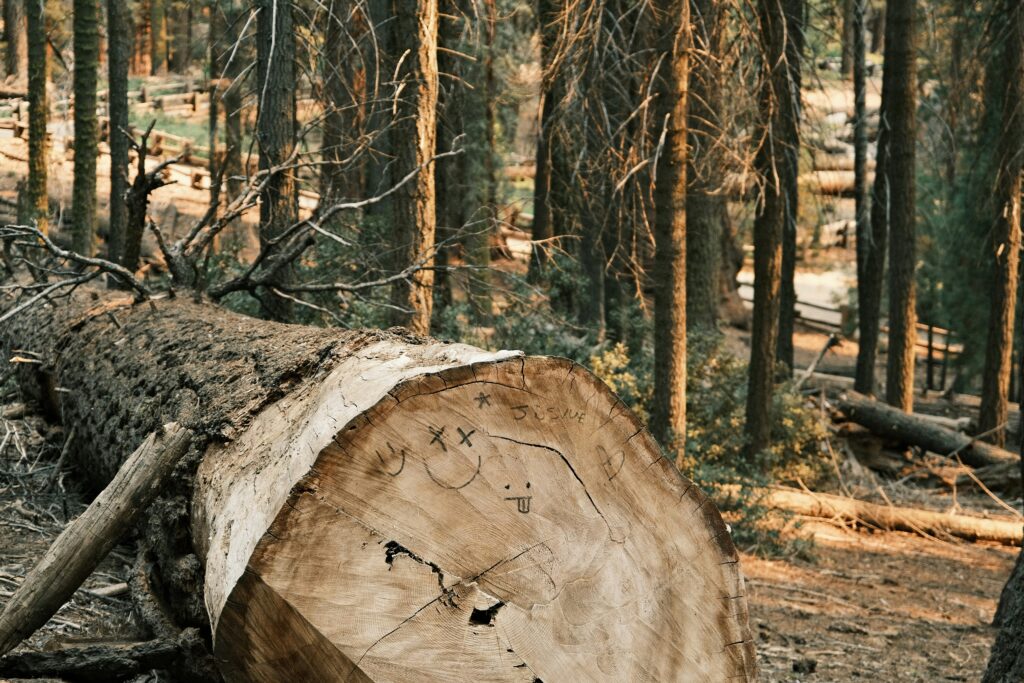
The EU Deforestation Regulation (EUDR) isn’t just another box to tick for sustainability teams. It’s a major shift in how companies have to prove that their products aren’t tied to deforestation or forest degradation. That means knowing where your materials come from, tracking land use over time, and documenting everything in a way that stands up to scrutiny.
Monitoring is at the heart of this. Without reliable, geolocated data and evidence of forest status, you can’t meet the regulation’s requirements. But the truth is, a lot of companies are still figuring out what EUDR monitoring actually looks like in practice. This guide walks through the key concepts, tools, and steps needed to get ahead of the curve and avoid messy compliance surprises later on.
What Is EUDR Monitoring, Really?
If you’ve been following the rollout of the EU Deforestation Regulation (EUDR), you’ve probably noticed one thing: it’s not optional, and it’s not simple. At the center of this entire regulation sits a big requirement that a lot of companies are still figuring out how to handle: monitoring.
EUDR monitoring isn’t just about watching satellite maps for tree loss. It’s about proving that every product entering the EU market didn’t contribute to deforestation or forest degradation after December 31, 2020. That proof needs to be clear, location-specific, and backed by data that regulators can actually check.
So if you’re trying to stay ahead of compliance, this article lays out what monitoring really involves, what kind of data you’ll need, and how to put a system in place that works now and scales later.
Why Monitoring Is a Core Part of EUDR Compliance
The regulation requires companies to show that their supply chains are clean, legal, and traceable. Monitoring is how you do that. It’s not a suggestion or a best practice. It’s a central requirement.
To comply, companies must:
- Submit geolocation data for the origin of every in-scope commodity
- Demonstrate that the land hasn’t been deforested or structurally degraded since the cutoff date
- Keep legal records that prove the product was sourced and processed lawfully
This applies to a long list of commodities like cocoa, soy, rubber, palm oil, wood, coffee, and cattle. And it applies whether you’re an operator placing products on the EU market or a trader handling goods already in circulation.
What Counts as Monitoring?
Monitoring under the EUDR isn’t just a one-time check. It’s an ongoing process that includes:
- Identifying origin plots: You need to know exactly where your raw material came from.
- Collecting geolocation data: That includes GPS coordinates or polygons for each plot.
- Verifying forest status: Using imagery or documentation to confirm no deforestation or degradation.
- Linking data to shipments: Every shipment must be traceable back to its origin.
- Maintaining documentation: Evidence needs to be audit-ready, accessible, and verifiable.
This has to happen before you place the product on the EU market. If there’s a delay or data gap, your shipment might not get through.
Spatial Data: The Backbone of Traceability
One of the more technical parts of the EUDR is how much it leans on geospatial data. This is not just about knowing a country of origin. You’ll need to submit exact coordinates or shapefiles for the plots where your commodities were grown or raised.
Good geolocation data includes:
- GPS points or polygons outlining the boundaries of each plot
- Timestamps or date ranges showing when the product was harvested
- Matching records for every batch or shipment
If you’re sourcing from multiple plots or blending materials (say, palm oil from two farms), each plot needs its own data set. That adds complexity, but it’s not optional. The EU wants traceability all the way back to the land.
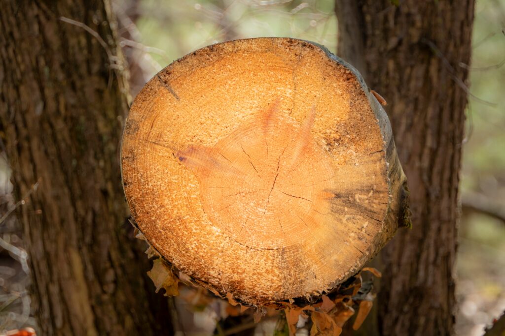
What Counts as Deforestation or Degradation?
Here’s where it gets tricky. The regulation doesn’t just look for tree loss. It also watches for changes in forest structure.
Deforestation is straightforward: forest land converted into agriculture or other uses.
Degradation, however, includes things like:
- Converting primary forest into plantations
- Heavy thinning that changes the forest type
- Logging that reduces canopy cover long-term
Even if the trees are technically still standing, if the structure changes in a way that fits the EUDR’s definition of degradation, it could disqualify the product. That’s why relying only on visuals isn’t enough. You need data that documents forest conditions over time.
Tools That Make Monitoring Possible
Nobody’s doing this on paper. Technology is a must, especially when monitoring multiple suppliers or countries. The most useful tools tend to fall into three categories:
1. EUDR Compliance: All-in-One Monitoring and Compliance Platform
We built Conformidade da EUDR to make deforestation monitoring and compliance something companies can actually manage, not just something to stress about before deadlines. The platform combines satellite-based monitoring, traceability workflows, and automated reporting so teams can stay ahead of requirements without needing an entire in-house GIS department.
With EUDR.co, we help users:
- Monitor sourcing zones with satellite data to detect potential deforestation
- Validate and manage geolocation data like GPS coordinates and polygon files
- Track commodity origin down to the plot level, aligned with EUDR rules
- Generate and store Due Diligence Statements (DDS) for EU TRACES submissions
- Cover key commodities like palm oil, soy, coffee, cocoa, wood, rubber, and cattle
We’ve streamlined the entire compliance reporting workflow, making it faster to spot risks, fix gaps, and stay legally covered. Whether you’re sourcing from one farm or dozens, EUDR.co helps simplify the chaos into a clear, trackable process.
2. Satellite Monitoring Platforms
Used to track land use, flag disturbances, and provide alerts. Some platforms update weekly or even daily, which helps with early warnings.
3. GIS and Mapping Systems
Allow you to visualize and manage forest data, classify land types, and overlay legal boundaries or protected zones.
4. Digital Traceability Systems
Link geospatial data with product shipments, legal documents, and due diligence records. Some platforms also help generate official Due Diligence Statements (DDS).
Together, these tools help businesses organize monitoring in a way that fits into daily operations instead of becoming a compliance bottleneck.
Real-World Challenges in EUDR Monitoring
This all sounds fine on paper, but companies on the ground are running into some real friction points. Let’s break down the most common ones.
Forest Classification Issues
Not all forests look different on a satellite image. Secondary growth can resemble plantations. Agroforestry can be hard to define. Misclassifying land as compliant is a real risk.
Delayed Degradation
A plot may look fine at time of sourcing but degrade later. Since DDS submissions are time-bound, companies need to monitor beyond the initial check to catch changes.
Blended Commodities
When raw materials get mixed during storage or transport, you must still trace each batch to its source. FIFO inventory models often clash with this level of granularity.
Smallholder Data Gaps
Many small farmers don’t have GPS tools, proper land documents, or internet access. Without extra support, they risk being shut out of the EU supply chain, even if they’re farming responsibly.
Building a Monitoring Workflow That Holds Up
The best way to tackle EUDR monitoring is to treat it as a repeatable process, not a one-off task. Here’s a simplified version of how that workflow might look:
Step 1: Identify What’s In Scope
Start with commodity codes. Figure out which goods fall under the EUDR and which parts of your supply chain they touch.
Step 2: Gather Geospatial Data
Work with suppliers to collect coordinates or polygon files. Validate the data against protected areas and known deforestation hotspots.
Step 3: Monitor Forest Conditions
Use satellite platforms to track changes over time. Store imagery and alerts for due diligence records.
Step 4: Check for Legal Compliance
Make sure land tenure, labor conditions, and harvest rights are all documented. The EUDR requires proof of legality, not just deforestation-free status.
Step 5: Link Data to Shipments
Every batch should be tied to a specific plot, timeframe, and documentation set. This ensures traceability from origin to market.
Step 6: Submit Your DDS
Once everything checks out and the risk is deemed negligible, submit your Due Diligence Statement to TRACES. If you’re unsure, flag the batch or hold it back.
Best Practices for Strong Monitoring Systems
It’s not just about ticking boxes. Monitoring can protect your brand and supply chain from disruptions if you set it up right. Here are a few practical tips:
- Use conservative classifications when data is unclear
- Don’t rely solely on satellite data – always pair it with legal records
- Audit high-risk zones more frequently
- Work with third-party platforms that specialize in EUDR standards
- Support smallholders with mobile tools or co-op level traceability models
- Keep records organized and easily accessible for inspections
The companies that get this right aren’t just reacting to regulation – they’re setting up systems that can handle future ones too.
Looking Ahead
EUDR monitoring is already in effect, and the deadlines aren’t far off. Most businesses need to be compliant by December 2025, with smaller ones given a few extra months. But waiting until the last minute to get monitoring in place is a risk.
A good monitoring system is about more than just avoiding fines. It’s how companies prove to regulators, buyers, and the public that they’re serious about environmental responsibility. And in today’s supply chain climate, that kind of proof isn’t a nice-to-have. It’s expected.
Final Thoughts
Monitoring for the EUDR isn’t just technical. It’s operational, strategic, and tied closely to your relationships with suppliers. The tools are out there, and the expectations are clear. What’s needed now is action.
Whether you’re working with smallholder cocoa farms or large timber producers, the message is the same: know your land, track your data, and document everything. That’s what it takes to stay compliant – and stay in the market.
FAQ
How detailed does the geolocation data need to be for EUDR monitoring?
The EU isn’t asking for rough location estimates or general regions. You need to provide exact coordinates or polygon boundaries for each plot where your commodity was produced. That means actual GPS data that ties a product to a specific area of land, not just a farm name or supplier address. And if you’re mixing batches from multiple sources, each one needs its own data trail.
Is satellite imagery alone enough to prove compliance?
Not quite. Satellite imagery is a great start for showing that a plot hasn’t been recently cleared or degraded, but it won’t cover everything. You also need supporting documentation like legal land titles, harvesting permits, and proof of compliance with labor and environmental laws. Think of imagery as part of the evidence, not the whole case.
What happens if a plot is flagged as high risk after a DDS has already been submitted?
That’s where continuous monitoring comes in. The DDS is based on the best available data at the time of submission, but if new deforestation is detected afterward, regulators may still follow up. If you’re regularly checking your sourcing zones, you’ll be able to catch issues early and decide whether to pause, flag, or drop a supplier before things escalate.
Do smallholders have to meet the same monitoring standards?
Technically, yes – the regulation doesn’t make an exception for farm size. But in practice, it’s harder for smallholders to collect and submit this kind of data. Many don’t have GPS tools or the digital infrastructure to track every plot. If you’re working with smallholders, you’ll probably need to step in with tools, training, or even co-op-level monitoring systems to bridge that gap.